
Phase 1 Now Underway: 16.6 acres actively entitling - infrastructure construction planned to begin 2026. Shovel-ready lots and pad-ready sites available.
Location Intelligence
The Logistics Advantage
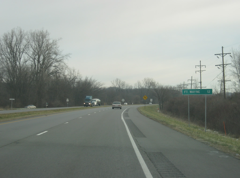
US-24 is the four-lane "Fort to Port" freight expressway linking Toledo (I-75) and Fort Wayne, Indiana (I-69) - 75 miles of commerce. Antwerp Square sits at its most strategic interchange.
Hard Corner
US Route 24 & SR-49 (S. Erie Street), Antwerp, Ohio 45813
Find Your Opportunity
Antwerp Square is designed to serve community needs and distinct investor profiles. Select the project area that aligns with your market.
Select a Subarea
Choose any parcel to see its use, acreage, and density.
Subarea A · Duplex
Residential Subarea
Acreage
6.5 ac
Max Density
6.6 un/ac
Max Units
43
Share of Site
6.9%
Subarea B · Single Family
Residential Subarea
Acreage
9.3 ac
Max Density
4.5 un/ac
Max Units
42
Share of Site
9.9%
Subarea C · Multi-Family Apartments
Residential Subarea
Acreage
8.1 ac
Max Density
16.0 un/ac
Max Units
130
Share of Site
8.6%
Subarea D · Single Family
Residential Subarea
Acreage
8.5 ac
Max Density
8.0 un/ac
Max Units
68
Share of Site
9.0%
Subarea E · Multi-Family / Single Family
Residential Subarea
Acreage
7.8 ac
Max Density
8.0 un/ac
Max Units
62
Share of Site
8.3%
Subarea F · Business / Flex Space
Commercial Subarea
Acreage
5.2 ac
Share of Site
5.5%
Subarea G · Travel Plaza / Hotel / Restaurant
Commercial Subarea
Acreage
4.9 ac
Share of Site
5.2%
Subarea H · Freeway Commercial / Hotel
Commercial Subarea
Acreage
15.6 ac
Share of Site
16.6%
Subarea I · Neighborhood Commercial
Commercial Subarea
Acreage
3.1 ac
Share of Site
3.3%
Subarea J · Commercial / Institutional
Commercial Subarea
Acreage
9.5 ac
Share of Site
10.1%
Total Site
~90 ac
Residential
40.2 ac
Commercial
38.3 ac
Parkway Right-of-Way
15.5 ac
Max Units
345
Acreage and density reflect the November 2025 concept plan. Subarea boundaries are illustrative and subject to final engineering.